

If you have ever worked within the beverage industry you know the fierce rivalry between Coke and Pepsi. I had a summer job at the beach delivering Coca-Cola syrup and I learned the intensity of the rivalry. Like Michigan vs. Ohio State, you don’t ever mention the competitor’s name, let alone give them any credit for anything. I believe the B&O vs. PRR rivalry was similar, at least in my family with my grandfather, father, uncles, cousins, and myself all working for the B&O. We’re talking about back over 100 years to just after the First World War.
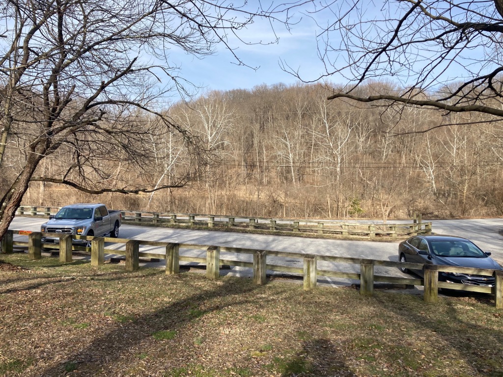
I live on the NCR Trail, a rail trail that extends over 40 miles from Ashland, MD (Cockeysville) to York, PA. It follows the right of way of the Northern Central Railway, later a part of the PRR. My wife loves to run so this was the perfect location when we moved back north from North Carolina. A few hundred yards from my house is mile zero on the trail just north about a 1/3 of mile north is railroad mile marker 16 from Baltimore with mile 122 on the other side of the marker.
Across the former tracks at trail marker zero was the Ashland Furnace, chartered in 1844 and by 1850 its annual output was 4,300 tons of pig iron. It was served by a siding on the south side of the line. In 1887 the Pennsylvania Steel Company purchased the works but sold it for scrap value in 1892 when they realized their Sparrows Point Plant was more cost-effective. Some of the original village housing and the original Post Office survive today.
Heading north toward York from trail mile zero, the line crosses Paper Mill Road and the first artifact you come upon is a Lime Kiln built into the side of a hill.

Phoenix, MD is the next town on the right of way and a historical marker show the location and a photo of the Phoenix Cotton Mill. This mill was water powered and was served by the NCR.
North of Phoenix, on the east side of the old line there appears to an abandoned quarry. You really have to slow down and look for it and it is most visible in the winter. The granite face is still exposed and extends about 100 yards from the line to a steep cliff guarded by a fence at the top. This area is just north of milepost 19/119


Further north, Sparks, MD is a small village with an impressive stone bank building and access from Sparks Road. There is no sign of a station, but with such an impressive bank, there might have been one in the area at some point.

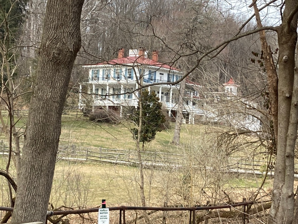
Glencoe Road is the next crossing. A building called Glencoe Station was torn down in either 2017 or 2018. Some work to restore it seemed to have started and then it was torn down. The station must have served the Oldfields School, a girl’s boarding school, just west on Glencoe Road. The road crosses the Little Gunpowder River on a temporary metal one lane bridge. On the east side of the trail is a well preserved old structure that was reported to be a resort in the early 1900s for folks wanting to get out of the city heat in the summer. Just north of here the line starts a climb that extends to just past Monkton Station.
Corbett is a small village with a several buildings, one close to the line may have served the railroad. Possibly there was an local agent of the railroad in the structure, this was not uncommon in small farming communities in Maryland. Pure conjecture on my part as I don’t see remnants of a station, but rail is still intact near the crossing at Corbett Road.

Monkton Station is a well preserved station at Monkton Road just about a mile north of Corbett. There are several other buildings in the crossing area, though the town of Monkton now incorporates a much larger area and is easily accessible from York Road by a modern road. That is not the usual case for roads that cross this lower part of the NCR Trail. Some are now part of the park lands that encompass the river that feeds the Loch Raven Reservoir, part of the City of Baltimore water system. These park lands allow me to live within blocks of busy York Road, while being able to go a few blocks in the other direction to access the trail and the river that is stocked with trout in spring for fly-fishing.


North and down the hill from Monkton is a small two-story stone building that looks like part of a larger installation. It is rumored to have been a home for a track maintenance person. That does not seem likely as railroads in the east didn’t often provide housing for track maintenance employees and this is very close to Monkton Station, with other private homes nearby and available for use by employees.

Heading north from the Monkton, after the stone building ruins, the line ascends slightly and there is a siding to the west on a deck girder bridge that branches off the mainline. This is after railroad mile marker 24/114, mile 8 on the modern trail mile markers. I have never followed this siding, but it seems to head northwest to a quarry.

The first road crossing north of Monkton is Bluemont Road, up the hill from the grade crossing is a beautiful farm house.

After trail marker 10 and an ascent, the trail enters White Hall and flattens out. This small village has a post office and a gas station. It, like many towns along the line had sturdy bank building, now sitting in somewhat disrepair. In the town, the old gas station is on the to the north end and past what might have been railroad station location and what appears to have been a coal dump.


The trail, and the old rail line, heading up to Parkton follows the river closely and crosses tributaries. At some points the valley is narrow and in other places if widens out and the river runs smoothly south and east.

When the right of way arrives near Parkton, MD, there are two grade crossings, the first being Frederick Road and the second being Dairy Road. Between these two roads State Park signage indicates there were sidings used for maintenance and a wye to turn locomotives.

From Parkton it is about 7 miles to the Pennsylvania line and a little beyond that is New Freedom, PA. I will add another post with photos and some information about that part of the line in the future.
Post-publishing edit: I forgot about a video I shot a few years ago while traversing the 40 miles of the NCR trail from Ashland, MD to York, PA. This video was taken north of New Freedom, PA where the excursion train is based as the Northern Central Railway of York.
